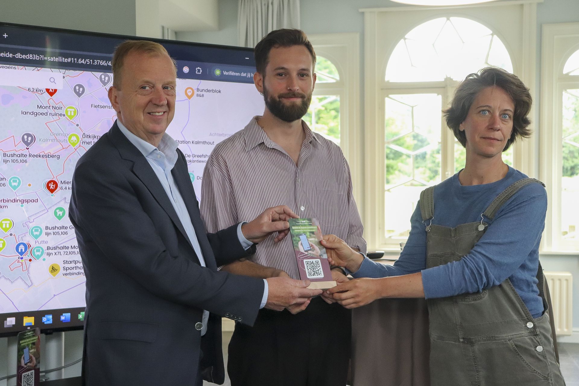
Grenspark Kalmthoutse Heide has launched a new interactive digital visitor map. Developed in collaboration with Dutch company Wolfmaps, the map offers a smart and user-friendly tool to explore the park sustainably. This initiative is part of Pilot A goals to encourage a shift away from car use in favour of more sustainable travel options, such as walking and cycling.
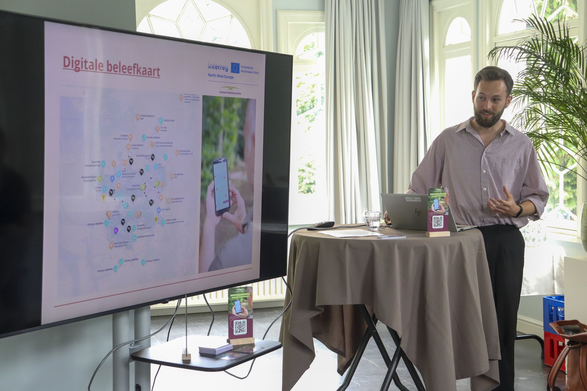
The digital map brings together all existing hiking, cycling, and mountain biking routes on a single platform, making it easier for visitors to plan their trips and navigate the area efficiently. In addition to route details, it provides information on access points and practical travel guidance, with an emphasis on low-impact transport options such as train, bus, and bicycle. By offering a clear overview of the park’s full range of experiences, Grenspark aims to encourage visitors to explore less-frequented areas. This helps to reduce overcrowding in the most popular zones during peak periods and contributes to the protection of sensitive natural habitats.
“This map supports our broader sustainability goals,” says Mattias Van den Bergh, project coordinator for sustainable mobility & recreation at Grenspark Kalmthoutse Heide. “By encouraging eco-friendly travel and spreading visitor flows more evenly across the park, we aim to reduce pressure on sensitive nature zones while improving the visitor experience.”
The map also features local tourism entrepreneurs—referred to as “ambassadors” of the park—by providing information on nearby food, lodging, and recreational services. These partners were actively involved in the content creation process, ensuring local relevance and authenticity. Marjolein from Camping Aan de Groene Papegaai in Hoogerheide is enthusiastic: “The digital map is a great addition to make Kalmthoutse Heide even more accessible for our camping guests, who can now head straight into the park from our site.”
Accessible via smartphone or computer without the need for an app, the map can also be used offline once loaded—ideal for remote areas with limited connectivity. Visitors can scan QR codes on-site or visit the Grenspark website to access the tool.
“Visitors often have questions about special landmarks, such as the Mont Noir columns in the middle of the area,” Van den Bergh adds. “Now, they can easily find extra historical or ecological context along their route, directly on their phone.”